|
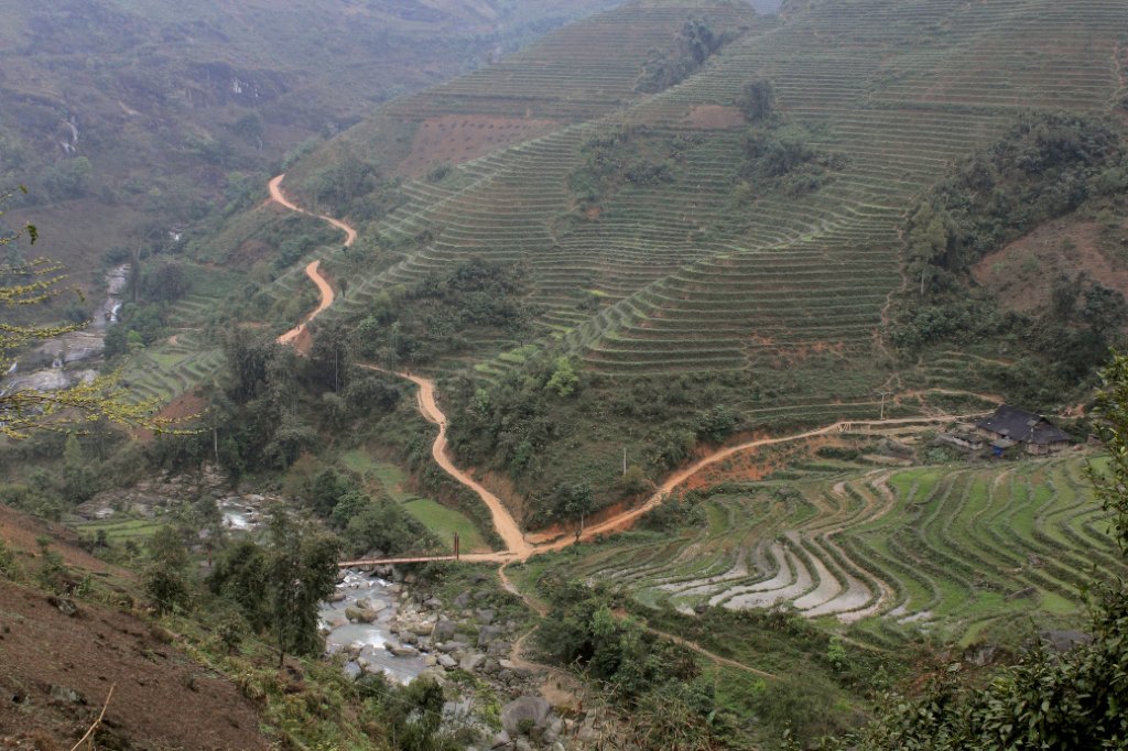 |
| Landscape between Sapa and Lao Cai | |
| Latitude: N 22°24'19,12" | Longitude: E 103°53'59,69" | Altitude: 879 metres | Location: Vu Lung Sung | City: Sa Pá | State/Province: Lao Cai | Country: Vietnam | Copyright: Ron Harkink | See map | |
| Total images: 37 | Help | |